Chonnam National University researchers combined drone imagery and ground-based LiDAR to build centimeter-accurate orchard maps, addressing a key challenge for agricultural automation.
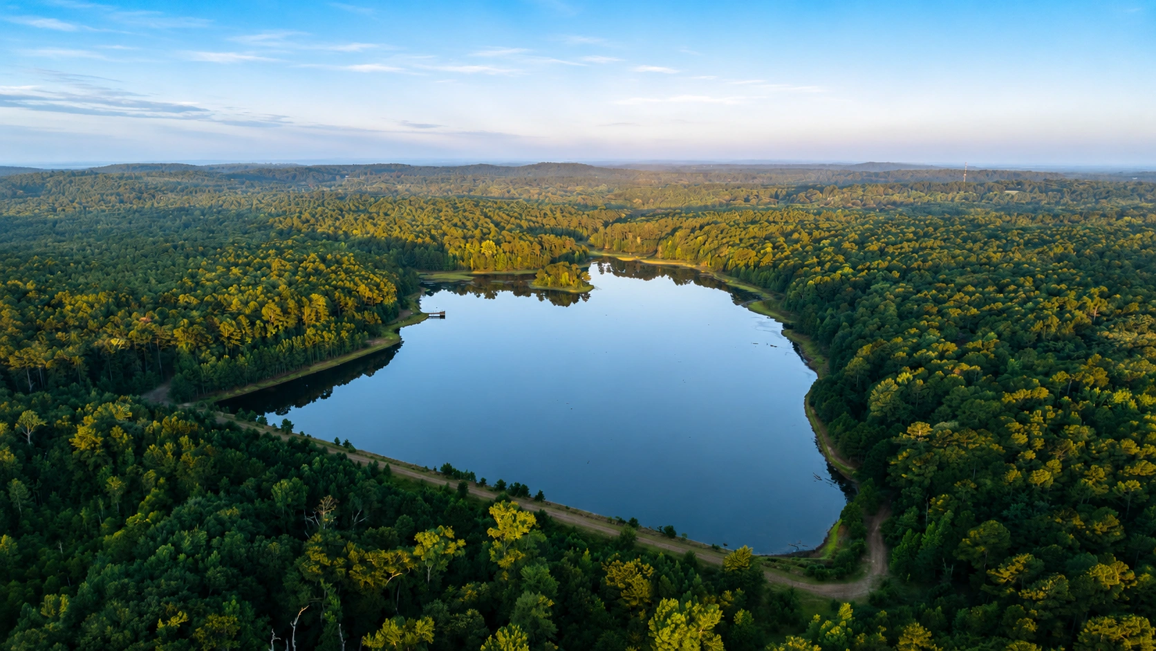
Researchers at Chonnam National University have developed an AI-based mapping system that combines aerial imagery with ground-level LiDAR data to create more accurate digital models of commercial orchards. Published in Artificial Intelligence in Agriculture, the work addresses a practical obstacle for precision farming: giving autonomous machines reliable location and structural information in environments where dense trees can interfere with conventional positioning systems.
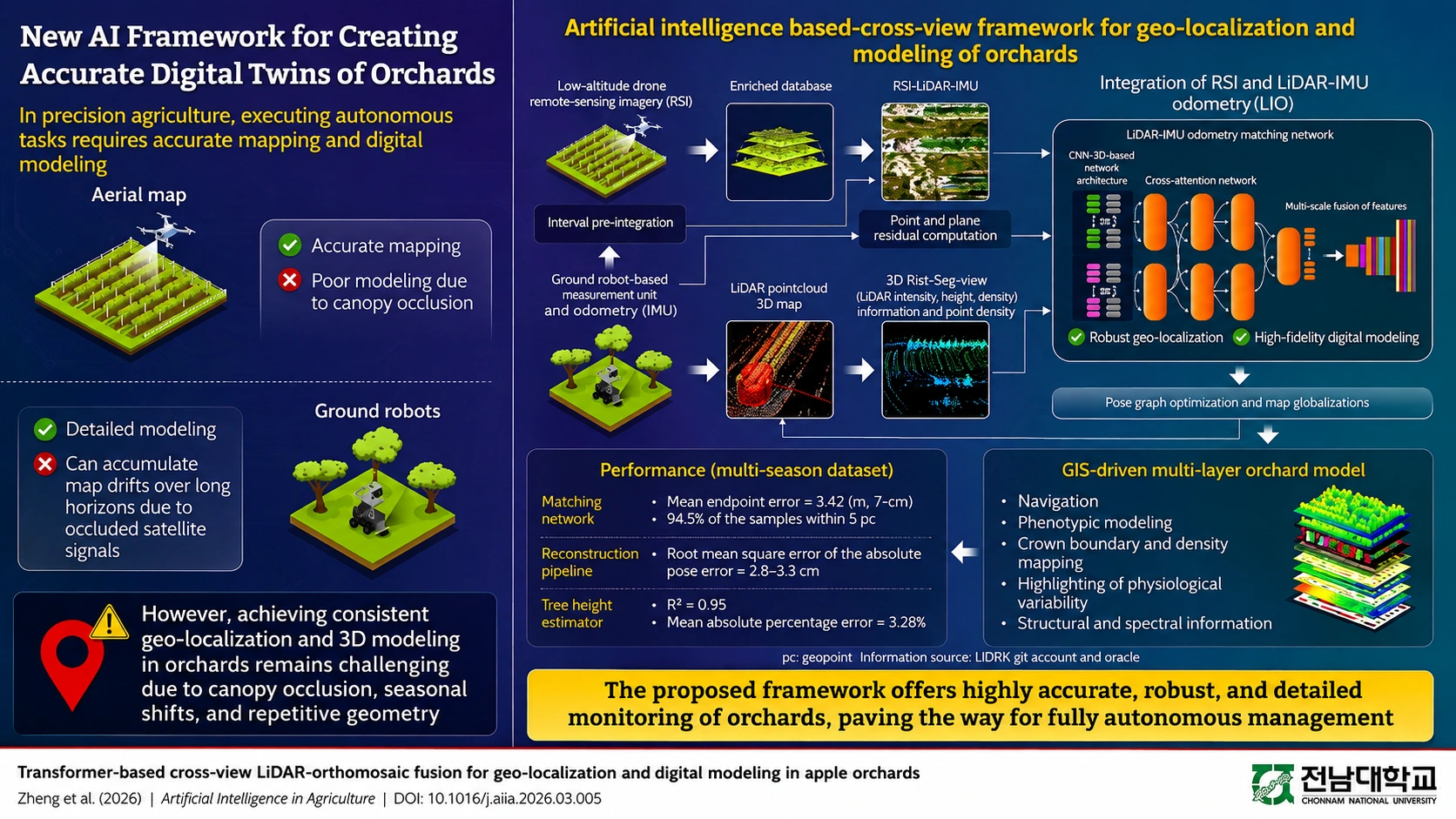
Drone-based remote-sensing imagery can provide accurate overhead maps with help from global navigation satellite systems, but tree canopies obscure much of what is happening closer to the ground. Robots equipped with LiDAR and inertial sensors can capture detailed information about individual trees and orchard rows, yet weakened satellite signals beneath foliage can cause their estimated positions to drift as they travel longer distances. Combining these perspectives has proved difficult because aerial images and ground sensor data look fundamentally different and can also change with the seasons.
The research team, led by Professor Kyeong-Hwan Lee, developed a cross-modal fusion framework intended to bridge those differences. Drone imagery from an apple orchard was converted into local aerial maps, while ground-based LiDAR point clouds were transformed into two-dimensional bird’s-eye-view representations that retained important structural information. A deep learning model then matched features such as tree rows, canopy patterns and open spaces between the two data sources, allowing the system to correct accumulated positioning errors.
In testing, the approach achieved localization accuracy within a few centimeters and remained effective across seasonal variations, while reducing long-term drift more successfully than conventional matching methods. The aligned information was incorporated into a geographic information system-based multilayer orchard model, creating a foundation from which information about tree characteristics and health could potentially be extracted. The researchers also report that the system is suitable for embedded devices, opening the possibility of real-time use.
The broader significance lies in making agricultural automation more dependable outside controlled environments. Accurate, continuously updated orchard models could support autonomous navigation and robotic operations while giving growers a more detailed digital picture of changing field conditions, an increasingly important capability as precision agriculture moves from isolated technologies toward integrated farm management systems.